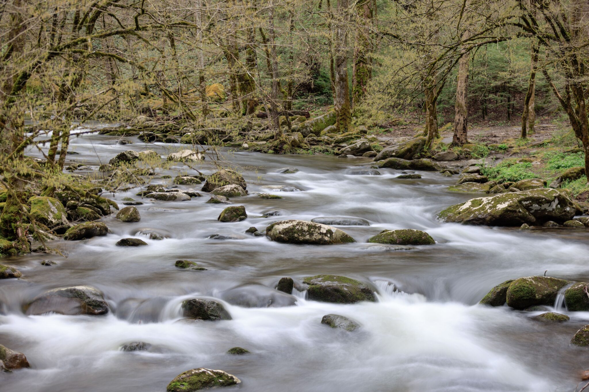
Anyone heading to the eastern edge of Tennessee for a few days will spend more time near moving water than they probably planned to. Streams run through nearly every valley in this part of the state, and the roads, towns, and trails all follow them because there was nowhere else to go. That makes water the easiest thing to build a trip around. It sets the scenery, it cools the air in July, and it holds most of the outdoor activity worth doing here. Knowing a little about how to approach it makes for a far better few days.
Getting on the Water Itself
The Pigeon River in Tennessee runs out of North Carolina for more than seventy miles before joining the French Broad River at Newport, and the name traces back to the passenger pigeons that once used the valley as a migration route. Rafting is what most visitors come to this stretch for, and the reason is a dam completed in 1930 that controls the flow through scheduled releases, so the rapids hold steady instead of rising and falling with the weather. Without those releases, the run would be unreliable for weeks at a time, which is exactly the problem paddlers face on rivers left to natural flow. If you are interested in rafting on the Pigeon River in Tennessee, Smoky Mountain Outdoors guides trips on both the faster Upper section and the gentler Lower run. The main season goes from May through September, and Upper trips sometimes begin as early as March.
Timing a Visit Around Water Levels
Conditions shift substantially through the year, and that shapes what a visit looks like. Spring carries the highest natural flow as snowmelt and heavy rain move downhill, which makes for dramatic scenery and fast, cold water. Summer settles into steady, warmer conditions and draws the largest crowds. Autumn brings lower levels alongside the color change, and the combination of clear water and turning leaves is the reason many people prefer September and October. Winter reduces most activity to looking rather than getting in, though the views open up considerably once the trees are bare. Whatever the season, checking current levels a day or two before a trip is worth the small effort, since conditions can change quickly after a heavy rain. Booking ahead during the busiest stretches is equally sensible, because the best times on the water fill first.
Driving the Valley Routes
A good portion of the experience here happens from the car, and that is no compromise. Roads in this part of the state were laid along waterways because the ground beside a stream was the only reasonably flat surface available, so the scenic drives and the water follow the same lines. Pull-offs appear regularly at the better viewpoints. Some routes narrow considerably, a few turn to gravel, and mountain sections close during ice events with little warning. Checking road conditions before setting out saves time, and cell coverage in the deeper valleys is unreliable enough that downloading maps in advance is worth doing.
Walking Beside the Streams
Trails that follow water are the easiest walking available here and often the most rewarding. They stay closer to level than anything climbing a ridge, they keep the sound of the current alongside you, and they lead to cascades and pools that make natural turnaround points. Footing is the main consideration. Rocks near water stay slick regardless of the weather, and roots and mud are constant. Sturdy shoes matter more than on dry trails. Early morning tends to be the quietest time and often the best light, since the valleys hold mist well after sunrise in warmer months.
Fishing the Cold Water
Cold mountain streams support fish that cannot live in warmer water, and the higher reaches hold native brook trout along with introduced rainbow and brown trout. A Tennessee license is required, and regulations vary by stretch, with some sections carrying additional rules on tackle and limits. Checking current regulations before a trip is essential rather than optional. Spring and fall generally produce the best conditions, since midsummer water can run warm and low. Local outfitters know which sections are fishing well in any given week, which is usually worth more than any amount of advance research.
Staying Safe Around Moving Water
Mountain streams rise fast, and steep terrain sends rainfall downhill much quicker than most visitors expect. A storm five miles upstream can raise a creek several feet while the sky overhead stays clear, so watching the weather across the whole watershed matters more than watching the sky above you. Water temperatures stay cold well into summer, current is stronger than it looks, and submerged rocks are unpredictable. Guided trips handle all of this as a matter of routine, which is a large part of their value for anyone unfamiliar with the terrain.
What Lives in and Around the Water
The constant moisture here supports an unusual density of wildlife, and much of it is easiest to spot near streams. Salamanders are abundant to a degree that draws researchers from around the world, and the region holds more species than almost anywhere on the planet. Larger animals come to water as well, particularly at dawn and dusk. Black bears are present throughout the region, so the standard rules apply everywhere, including along riverbanks. Keep distance, secure food, and never approach for a photograph. Deer, wild turkey, and a long list of birds are common sights along most valley routes.
Building the Rest of the Trip Around It
Water activities work best as the anchor of a day rather than the whole of it. A morning on the river leaves the afternoon open, and the surrounding towns provide plenty of ways to fill it. The practical approach is to schedule the water portion early, when conditions are best and roads are clear, then keep the rest loose. Traffic in this region builds through the middle of the day and holds until evening during busy seasons, so anything requiring a drive is better done before mid-morning. Visitors who plan that way consistently get more out of the same number of days.